Like I mentioned last time, I am walking a virtual Camino de Santiago (Way of St. James) pilgrimage, using The Conqueror app. For every mile I walk in my neighborhood, I log it into the app and it brings me along the Camino route in google maps. There are actually several routes in the real Camino, and the app uses one called the Camino Frances. My favorite part is going back through the map with the images on so that I can see the scenery I have passed.
Here are a few of my favorite scenes from the first few miles of the Camino, captured by screenshot off of Google Maps in the Conqueror app. The route is 480.9 miles total, and I only have 476.04 to go 😂.
A heart shaped field.

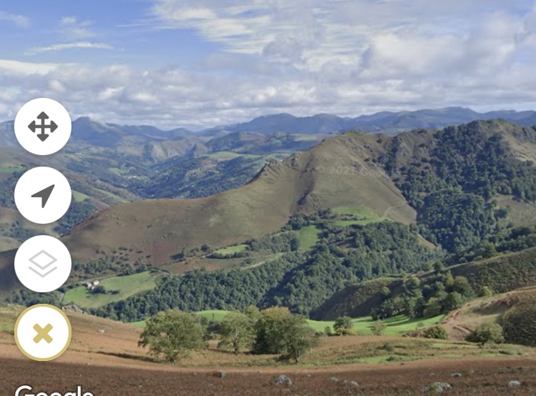
A beautiful view – I think this whole part of the trail is in the Pyrenees.
A bicycle basket with a scallop shell (a symbol of the Camino and St. James) and a rosary.

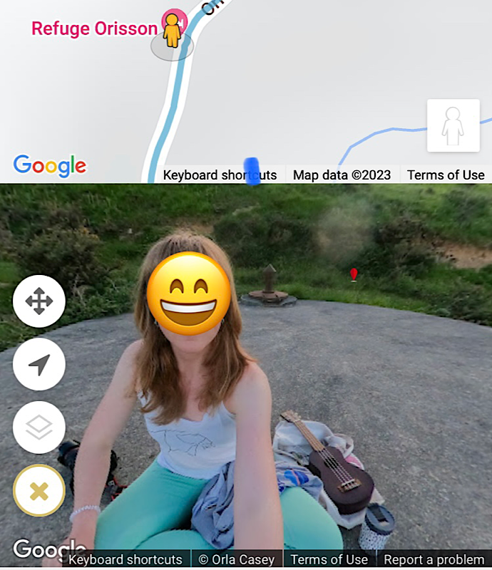
The Refuge Orisson, a restaurant and dormitory on the trail.


A sweet lady and her ukulele seen outside the Refuge. I hid her face because Google did not.
A flock of sheep.

Some cows join the pilgrimage 🙂


